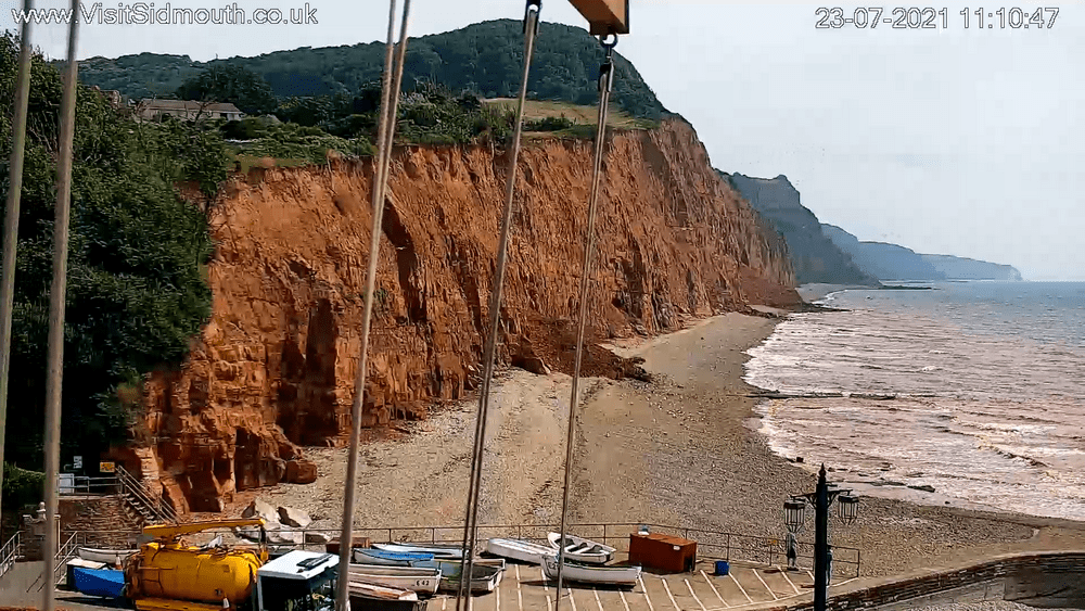
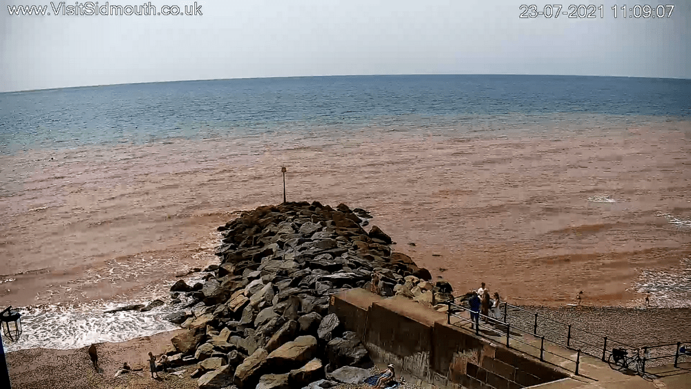
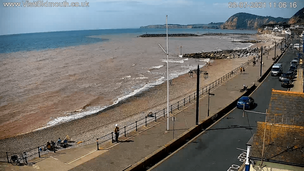
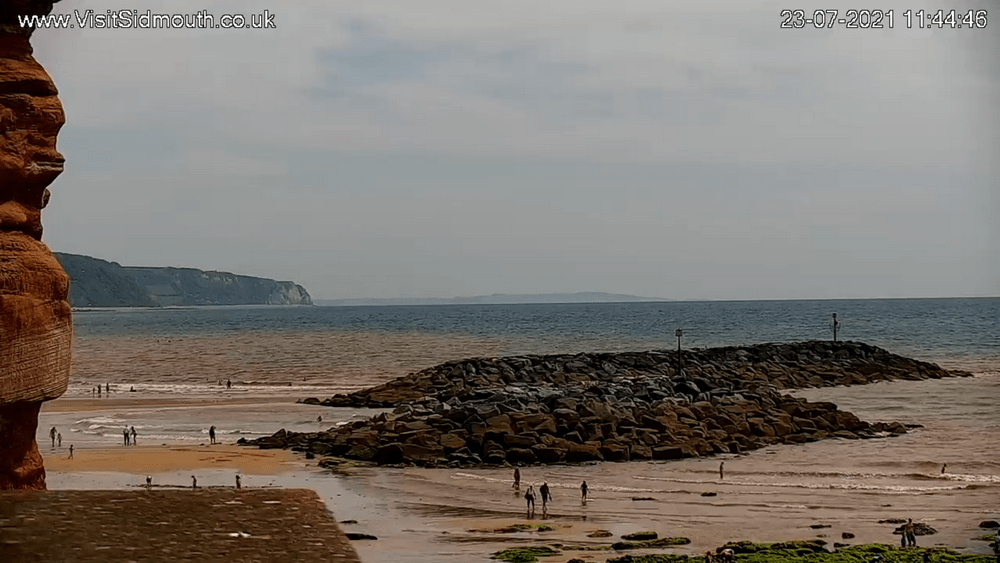
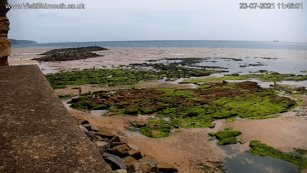
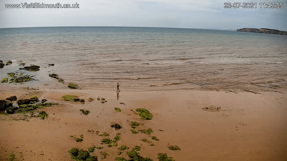
Sediment in the seas of Sidmouth is often visible, more so after there have been rockfalls. Pictures of the ways sediment moves and is transported can be of help in judging tides and currents in different wind conditions, as seen below.
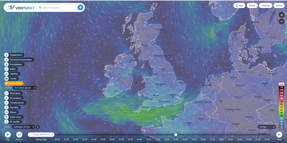
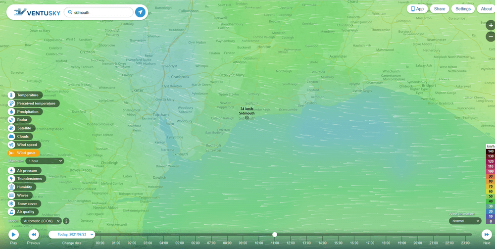
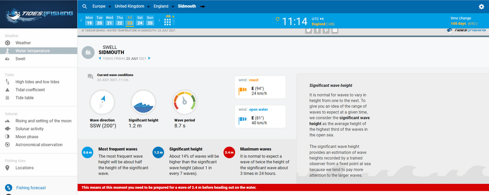
On 23rd of July 2021 the winds were from the east in the south of the country.
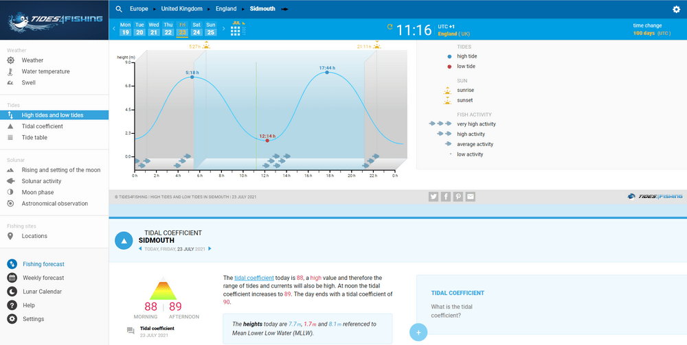
The movement of sediment will change with different wind directions, and wave and tide conditions.
Images taken from Sidmouth webcams showed where the sea was full of sand and where it was not. There is a distinct line between the brown water carrying sediment and the blue not carrying much sediment.
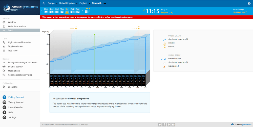
You can also see the wave direction at the beach is much more southerly than the weather maps would imply. It is important to remember that weather maps do not show local conditions very well as they can only give general flows. Even the maps showing Sidmouth in detail do not reflect the waves you can see in the pictures above.
This image from Simon Vacher shows the sort of sediment we are used to seeing off east beach. Perhaps this can help us judge where best to place offshore sea defences so the tombola effect, as seen round the current rock islands, is formed as quickly as possible?

